Large-scale geospatial data visual development framework based on WebGL – L7

Large-scale geospatial data visual development framework based on WebGL – L7

2022-09-01 0 831
Resource Number 36633 Last Updated 2025-02-24
¥ 0HKD Upgrade VIP
Download Now Matters needing attention
Can't download? Please contact customer service to submit a link error!
Value-added Service: Installation Guide Environment Configuration Secondary Development Template Modification Source Code Installation

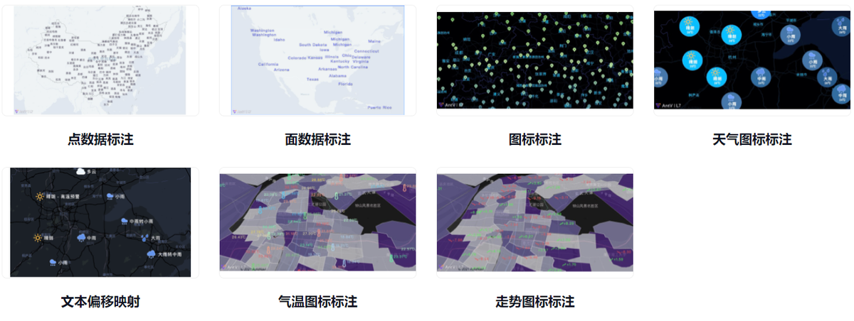
This issue recommends a WebGL-based open source large-scale geospatial data visual analysis development framework – L7.

L7 is an open source WebGL-based visual analysis development framework for large-scale geospatial data launched by AntV data visualization team of Ant Financial. The L in L7 represents Location, and the 7 represents the seven continents of the world, implying the ability to provide visual analysis of global location data. L7 focuses on the visualization of data expression, and realizes clear and effective expression from data to information through the setting of visual variables such as color, size, texture, direction and volume.

L7 can meet the common map chart, BI system visual analysis, as well as GIS, transportation, power, land, agriculture, urban and other fields of spatial information management, analysis and other application system development needs.

f86a79e443bf4badb6ed95ed40425b47noop.image_

L7 features:

Data-driven visualization: Data-driven, flexible data mapping, from number to shape, support rich map visualization types, better insight into data.
2D, 3D integration of mass data high-performance rendering: mass spatial data real-time, interactive, dynamic rendering,
Simple and flexible data access: Supports CSV, JSON, GeoJSON and other data formats, and can customize data formats according to requirements, without complex spatial data conversion.
Multi-map base map support, support offline Intranet deployment: mask the differences between different base maps, users only need to pay attention to the data layer expression and interaction. Amap’s domestic legal and compliant geographic base map, Mapbox meets the needs of international business.

How to use:

Install

npm install @antv/l7@beta

initialize

import { Scene } from '@antv/l7';import { Mapbox } from '@antv/l7-maps';const scene = new Scene({id: 'map',map: new Mapbox({style: 'light',pitch: 0,center: [107.054293, 35.246265],zoom: 4.056,}),});

Add layer

import { PointLayer } from '@antv/l7';const pointLayer = new PointLayer().source(data).shape('circle').size('mag', [1, 25]).color('mag', ['#5B8FF9', '#5CCEA1']).style({opacity: 0.3,strokeWidth: 1,});scene.addLayer(pointLayer);

Sample chart:

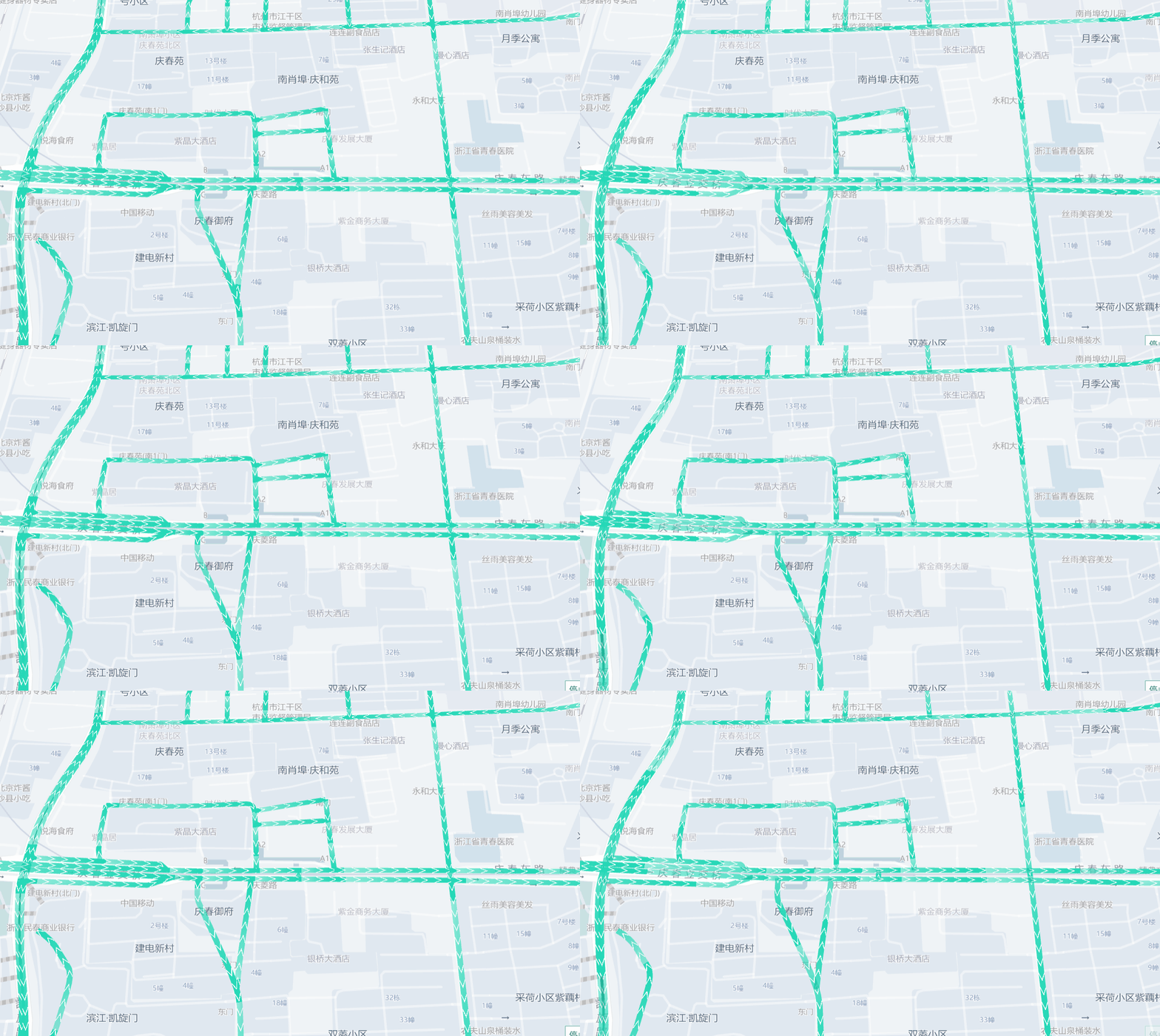
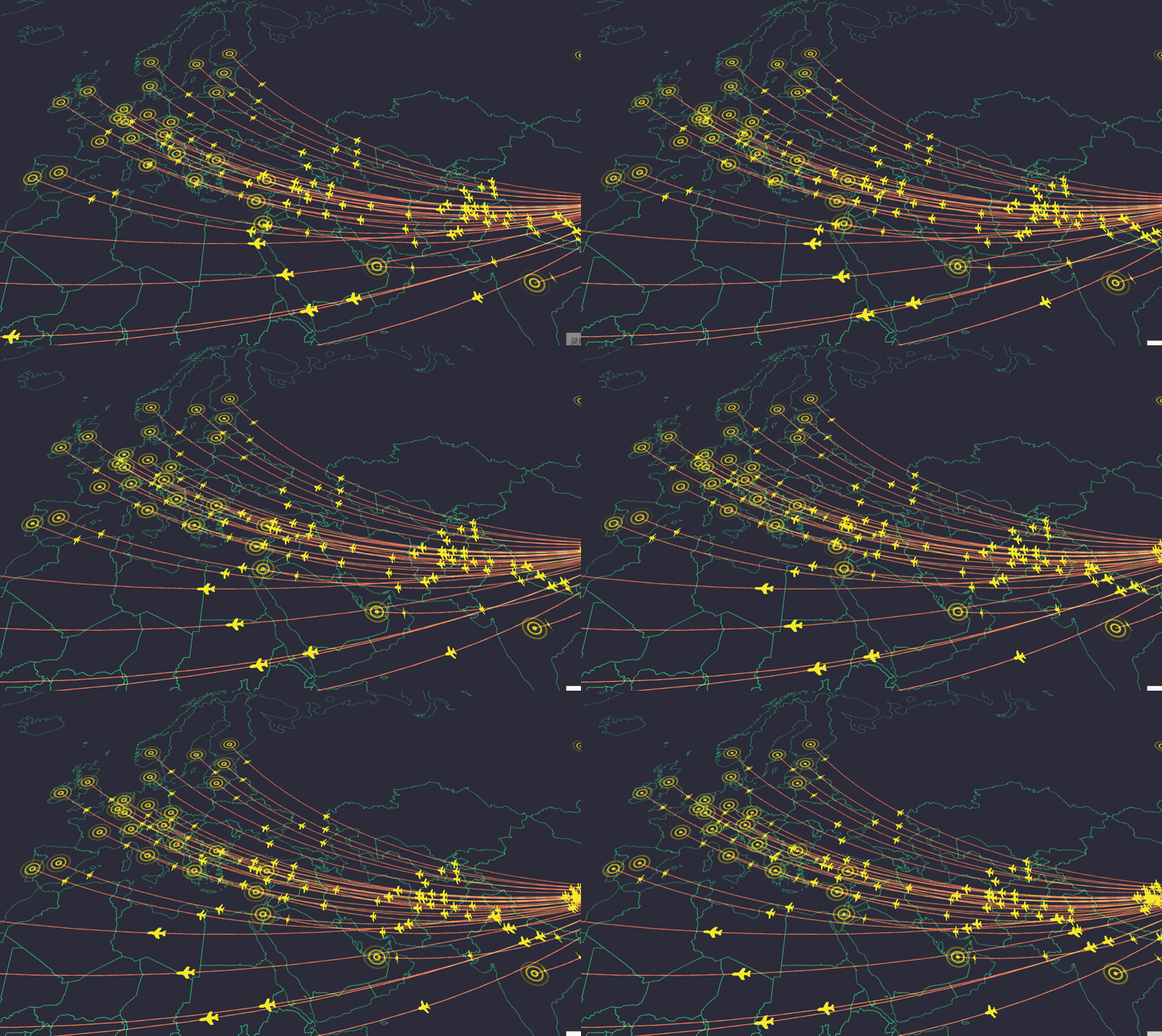
Path mapping

1e3173e1ebfd4d7d90ba88c5d315043cnoop.image_

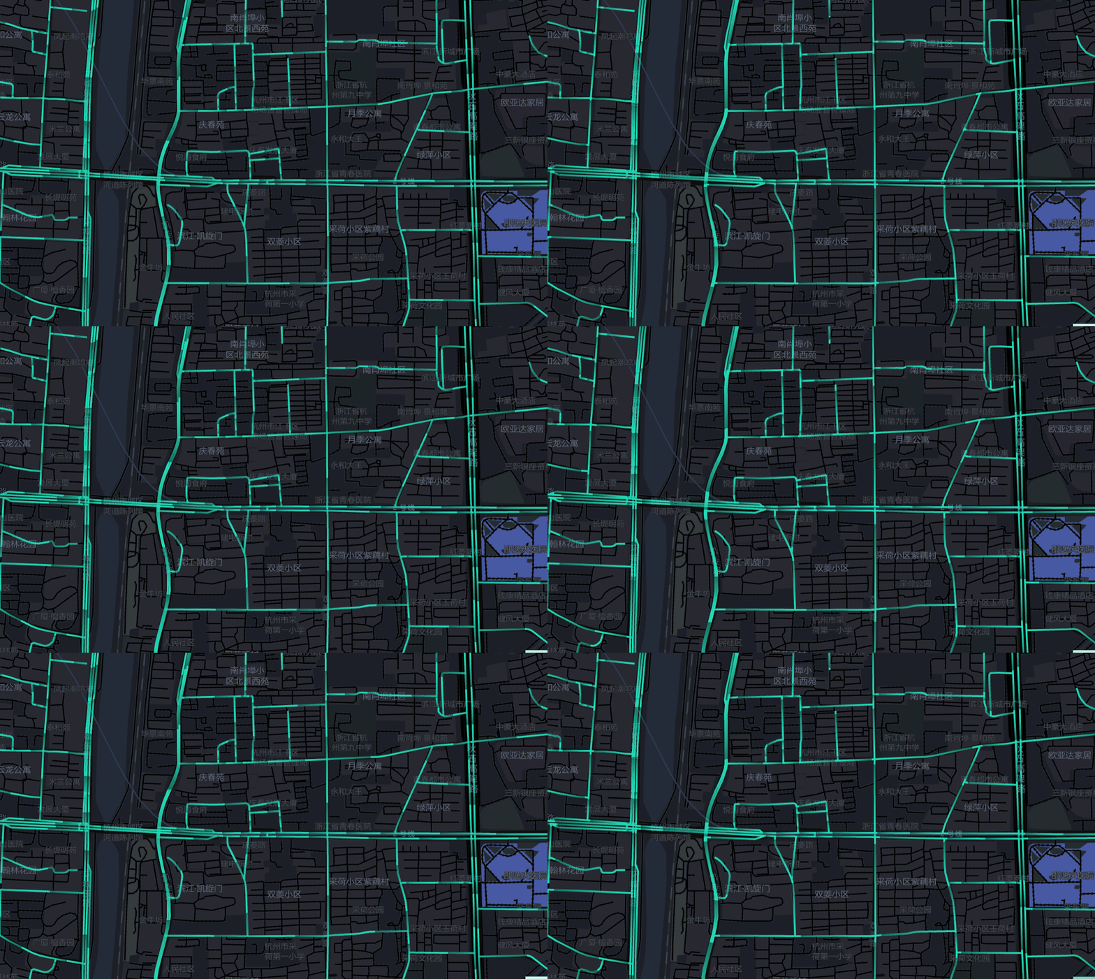
  • path animation

7b730b66ed96498c9d8a22c8fffad32dnoop.image_

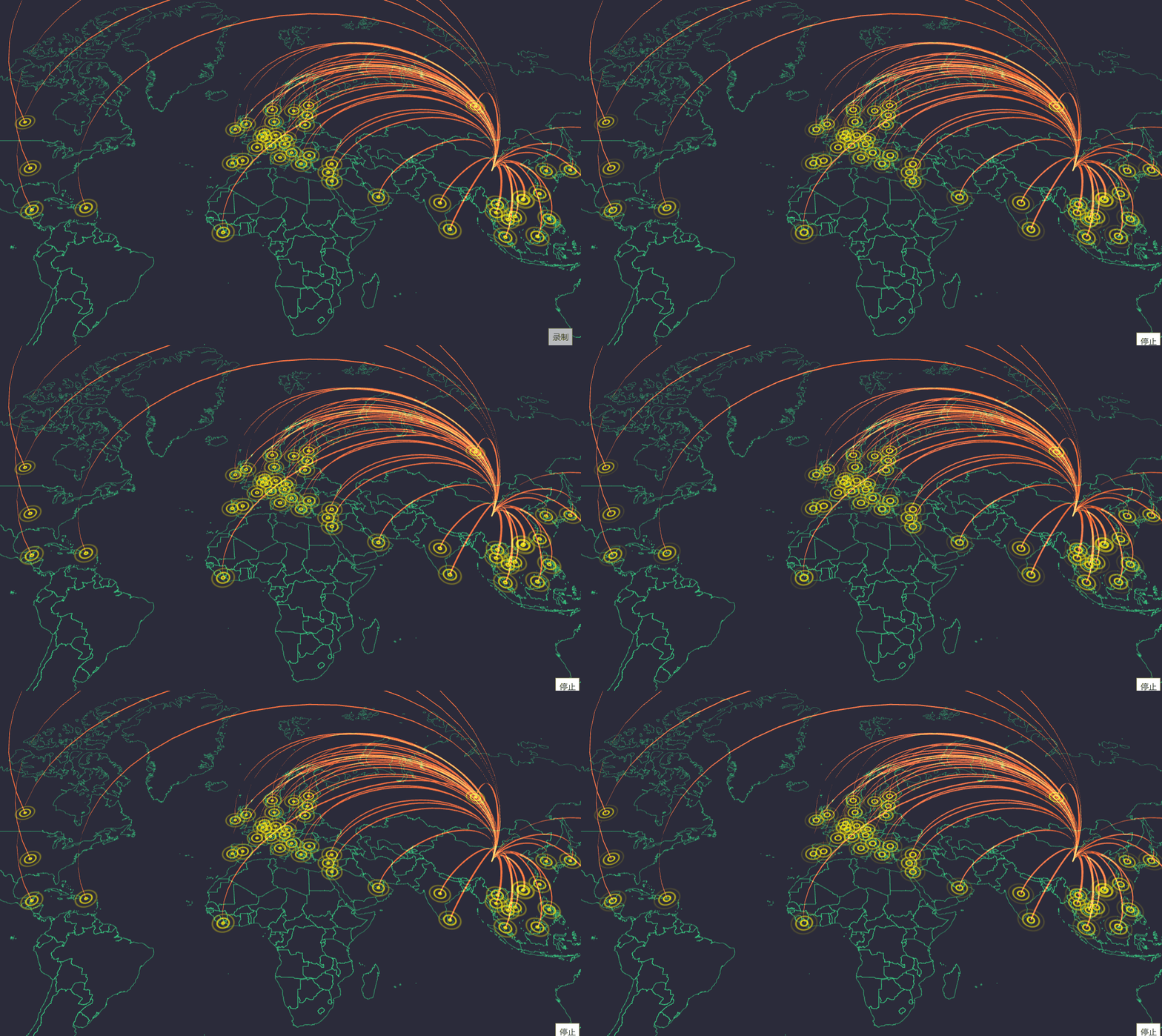
  • flow diagram

28fcaa6f33cf4367bf4dd795c1719697noop.image_

  • Course chart

35714a71472e4bfa8f8348ee7c834c56noop.image_

  • Course chart

79fc68a8608641089a9a083de65cd644noop.image_

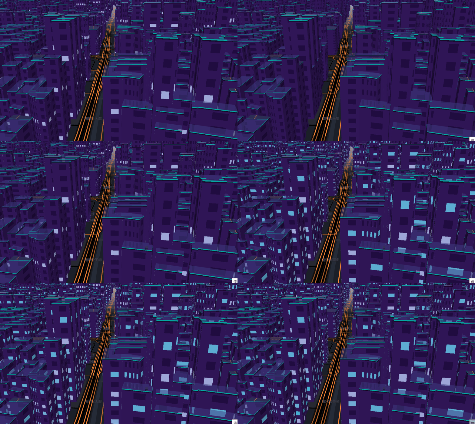
  • Light up the city

ff3696a8e48b4e33acc75781fe92222bnoop.image_

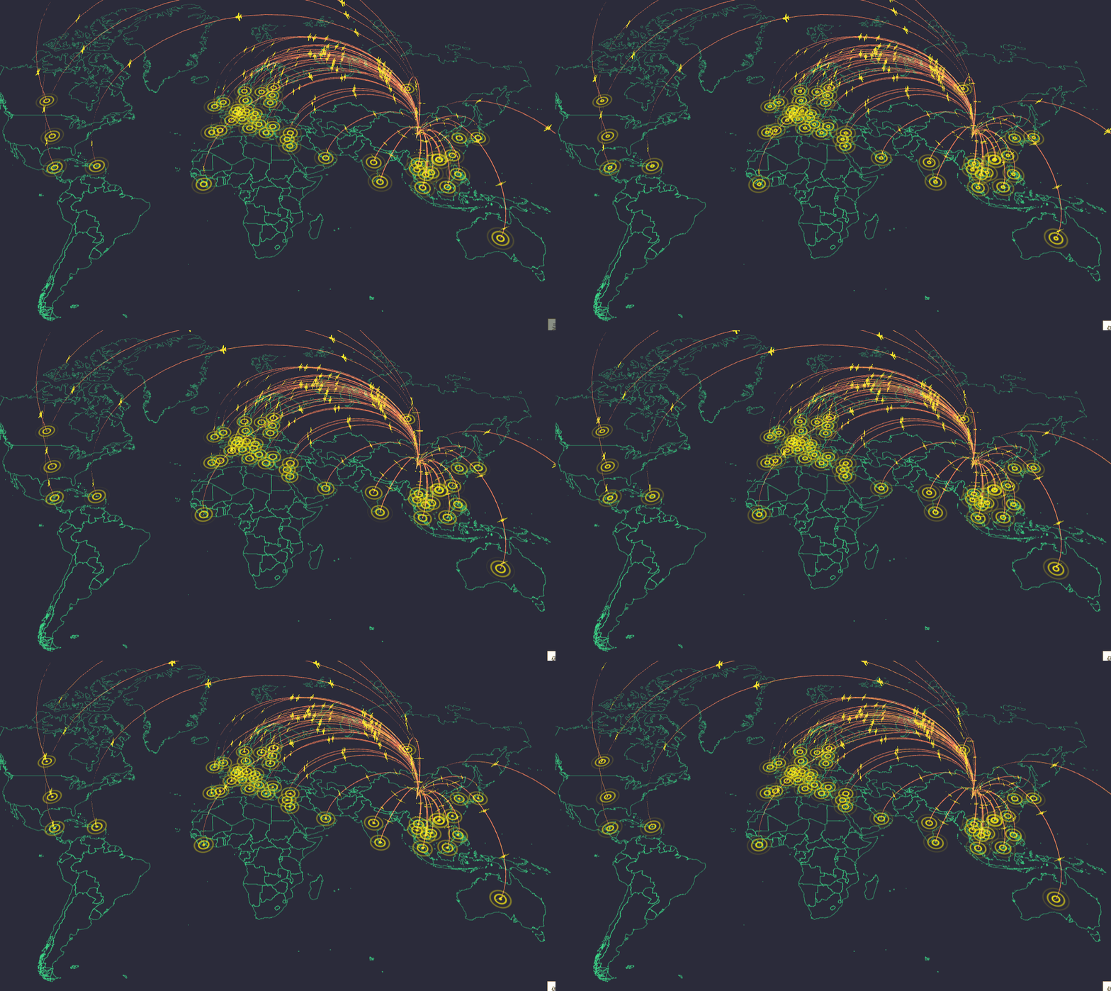
  • Trajectory animation

d7ffdff903d94a5194cf40576e493a2dnoop.image_

  • Basic visualization

4c3688bcb47c4004b8aa2811f53eea17noop.image_

  • map

38a9abad0eb442f38ad63b740808e699noop.image_

  • text label

ef98379806a54b9cadf81f99341d948bnoop.image_

Read more on your own.

资源下载此资源为免费资源立即下载
Telegram:@John_Software

Disclaimer: This article is published by a third party and represents the views of the author only and has nothing to do with this website. This site does not make any guarantee or commitment to the authenticity, completeness and timeliness of this article and all or part of its content, please readers for reference only, and please verify the relevant content. The publication or republication of articles by this website for the purpose of conveying more information does not mean that it endorses its views or confirms its description, nor does it mean that this website is responsible for its authenticity.

Ictcoder Free Source Code Large-scale geospatial data visual development framework based on WebGL – L7 https://ictcoder.com/large-scale-geospatial-data-visual-development-framework-based-on-webgl-l7/

Share free open-source source code

Q&A
  • 1. Automatic: After making an online payment, click the (Download) link to download the source code; 2. Manual: Contact the seller or the official to check if the template is consistent. Then, place an order and make payment online. The seller ships the goods, and both parties inspect and confirm that there are no issues. ICTcoder will then settle the payment for the seller. Note: Please ensure to place your order and make payment through ICTcoder. If you do not place your order and make payment through ICTcoder, and the seller sends fake source code or encounters any issues, ICTcoder will not assist in resolving them, nor can we guarantee your funds!
View details
  • 1. Default transaction cycle for source code: The seller manually ships the goods within 1-3 days. The amount paid by the user will be held in escrow by ICTcoder until 7 days after the transaction is completed and both parties confirm that there are no issues. ICTcoder will then settle with the seller. In case of any disputes, ICTcoder will have staff to assist in handling until the dispute is resolved or a refund is made! If the buyer places an order and makes payment not through ICTcoder, any issues and disputes have nothing to do with ICTcoder, and ICTcoder will not be responsible for any liabilities!
View details
  • 1. ICTcoder will permanently archive the transaction process between both parties and snapshots of the traded goods to ensure the authenticity, validity, and security of the transaction! 2. ICTcoder cannot guarantee services such as "permanent package updates" and "permanent technical support" after the merchant's commitment. Buyers are advised to identify these services on their own. If necessary, they can contact ICTcoder for assistance; 3. When both website demonstration and image demonstration exist in the source code, and the text descriptions of the website and images are inconsistent, the text description of the image shall prevail as the basis for dispute resolution (excluding special statements or agreements); 4. If there is no statement such as "no legal basis for refund" or similar content, any indication on the product that "once sold, no refunds will be supported" or other similar declarations shall be deemed invalid; 5. Before the buyer places an order and makes payment, the transaction details agreed upon by both parties via WhatsApp or email can also serve as the basis for dispute resolution (in case of any inconsistency between the agreement and the description of the conflict, the agreement shall prevail); 6. Since chat records and email records can serve as the basis for dispute resolution, both parties should only communicate with each other through the contact information left on the system when contacting each other, in order to prevent the other party from denying their own commitments. 7. Although the probability of disputes is low, it is essential to retain important information such as chat records, text messages, and email records, in case a dispute arises, so that ICTcoder can intervene quickly.
View details
  • 1. As a third-party intermediary platform, ICTcoder solely protects transaction security and the rights and interests of both buyers and sellers based on the transaction contract (product description, agreed content before the transaction); 2. For online trading projects not on the ICTcoder platform, any consequences are unrelated to this platform; regardless of the reason why the seller requests an offline transaction, please contact the administrator to report.
View details

Related Source code

ICTcoder Customer Service

24-hour online professional services